Having turned right and right again at the summit of Tigancor the route begins a descent in the direction of the Suir Valley and this is where this article picks up…
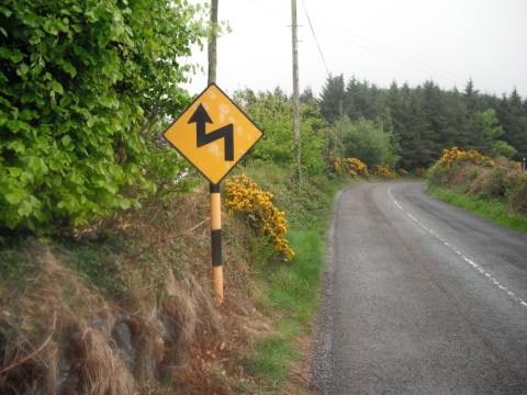
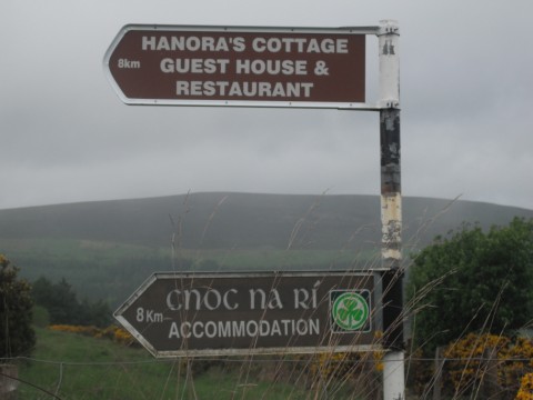
There is a 1.5km descent off Challenge 4 Tigancor with caution needed especially through an ‘S’ bend. The route then takes a left turn at the Honora’s Cottage Guest House sign which is shortly after the ‘S’ bend and the climbing of Challenge 5 The Nire Valley Loop begins.
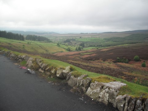
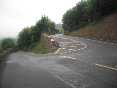
The first of the twin peaks of Challenge 5’s – Nire Valley Loop is about 2.5km long, has an average gradient of 6% and includes two hairpins, the second of which provides a beautiful viewing point of Clonmel and the Suir Valley, both of which you are about 400m above. The scenery in this part of East Munster is fantastic and I recommend taking in the beautiful views and landscape as you climb, maybe even stopping at the above mentioned lay-by for moment to appreciate the wonderful Golden Vale in the valley below, not to mention giving the ever tiring body a welcome break!
As you crest the first part of Challenge 5 you cross a cattle grid and begin a descent into the Nire Valley which is about 4km in length and again is a beautiful cycling road with excellent scenery.
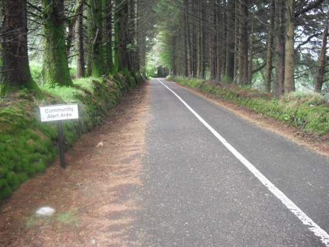
There is ample time to take in the beautiful surroundings on this 4km descent with the Nire Valley to the right before the road travels through a plantation of Evergreens which makes it one of the areas nicest descents.
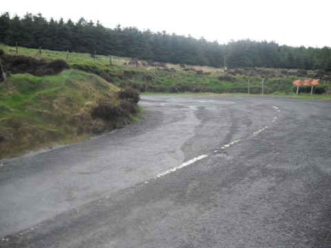
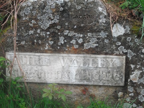
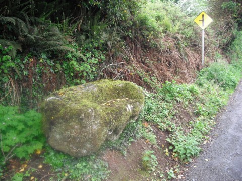
The route then takes a sharp left at the next junction, easily recognised by it’s rough apex and Nire Valley sign, that too is feeling the effects of the recession (pictured below) and begins the second of the peaks of the Nire Valley loop.
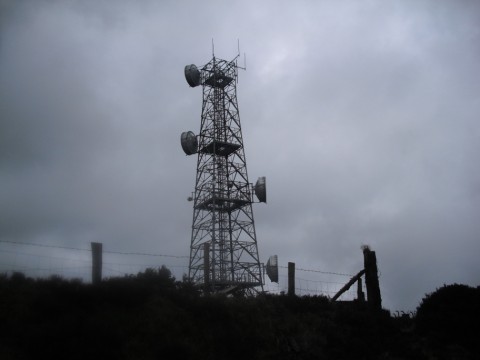
The second of the climbs in the Nire Valley Loop is just over 3kms in length and has an average gradient of 7%. This climb will take you amazingly to a height of almost 500m above sea level and one could be forgiven for cursing the Event Organisers as the fatigue sets in with 80km in the legs! The wind usually swings around in your back at this point and a quick kilometre across the plateau will ensue before crossing the cattle grid and beginning the breathtakingly fast descent as you pass a mobile phone mast on your left where caution is needed as speeds of over 70kph can easily be reached.
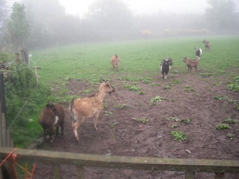
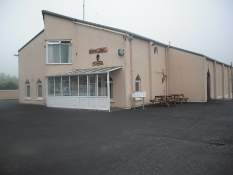
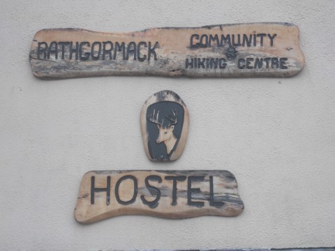
At the bottom of this descent which is a no more than a kilometre from the cattle grid the route meets the cross roads of Powers the Pot for the second time where the route takes a right (at the field of goats…I joke!) onto what is known locally as the Mountain Road and the food stop at the Rathgormuck Hiking Centre is an even 10km away.
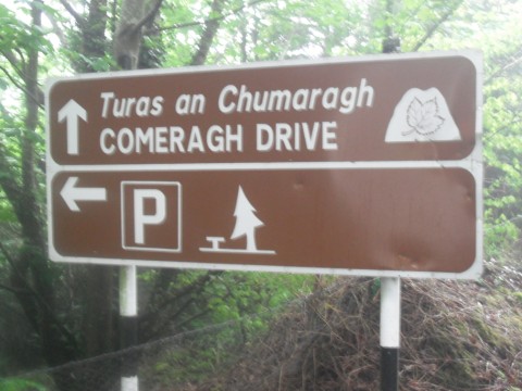
The route descends further for about another kilometre and caution is needed as the road turns right and left across a bridge. The route then continues along Comeragh Drive in view of the beautiful Comeragh Mountains in the direction of Rathgormuck.
There is, however, one little sting in the tail as one might say before you can stop and enjoy your lunch, the ‘uncategorised’ climb of Sky Hill, whose name comes from the appearance it gives, as it seems to head for the skies above, such is its elevation!
In spite of this Sky Hill is really nothing to worry about (but shouldn’t be ignored either) as it is only 500m in length but does have an average gradient of 6.5%.
Once you have changed Sky Hill from present to past tense, your on your ‘cool down’, as the food stop in the Rathgormuck Hiking Centre is only another kilometre away (thank God some will surely be thinking) where you can rest up, fill up and catch up with the rest of the participants!
The food stop on this route is ideally located as it is past the half way mark of the Sportive (you’ll have about 100km of the 160km covered), you’ve 5 of the 8 challenges completed and it should be close to One o’clock when you get there –lunchtime!
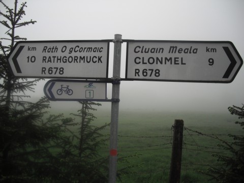
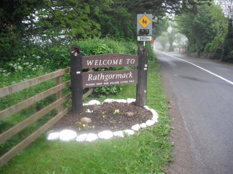
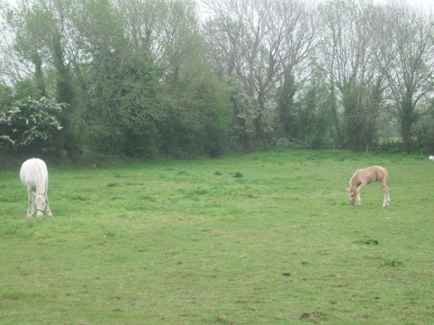
After the food stop the route continues into the village of Rathgormuck where the route takes a left (at the horse in the field…I joke again!)
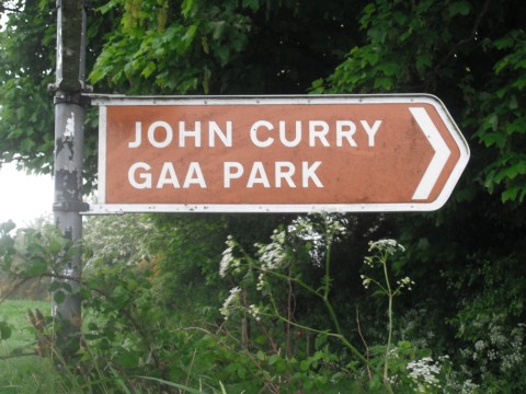
and then a right in the direction of Carrick-on-Suir (sign posted John Curry GAA Park, no sign for Carrick) and Challenge 6 – Seskin Hill. The journey from the food stop to the bottom of Seskin Hill is about 10kms and this will give riders an opportunity to get the legs turning again and the cadence slowly back up to speed. The route then takes a right in the direction of Carrick-on-Suir at the T-Junction in the townland known locally as Millvale and continues towards Carrick-on-Suir.
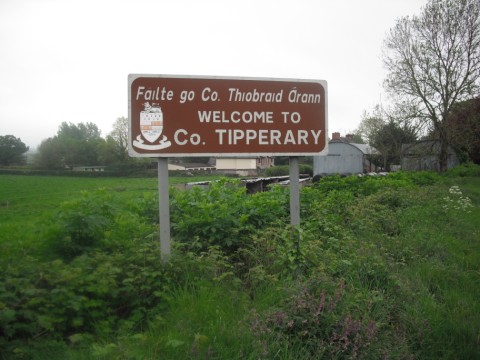
As the riders approach the outskirts of Carrickbeg (known locally as ‘Little Ulster’ for the Tipperary/Waterford divide) they will be welcomed by a Welome to Co. Tipperary sign. However, if you really want to know what county you are in I suggest you stop and ask one of the locals, as whatever their answer, Premier or Deise, you are sure to be in for a passionate response and a history lesson too!
As the route comes into Carrickbeg it goes straight through the mini roundabout before going right at the Grotto where Seskin Hill then comes into view.
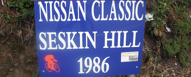
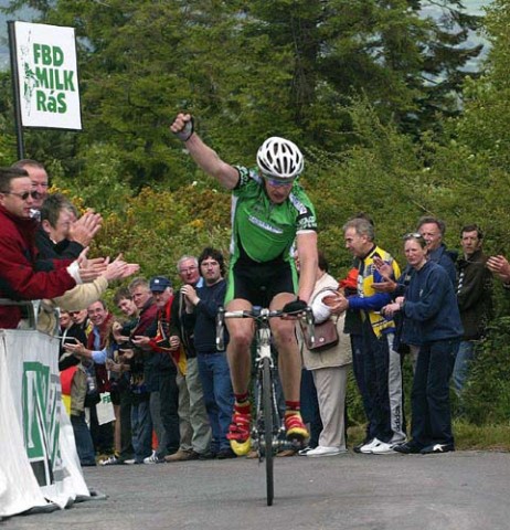
Seskin Hill has become famous in cycling circles ever since its use in the 1986 Nissan Classic Professional Cycling Race and has been used in top races since, most notably two Rás stages, both finishing at its summit in the last ten years.
The climb of Seskin is less than 1.5kms but has an average gradient of 10% with its steepest parts being 20%plus. The route pulls up quickly and half way up one can see the town from which you just came from over 100m below you!
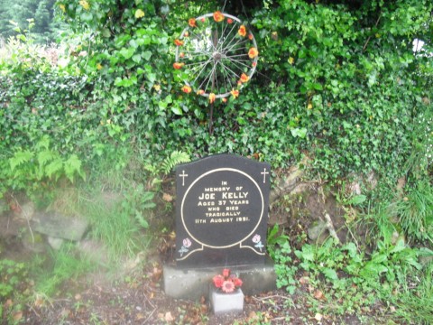
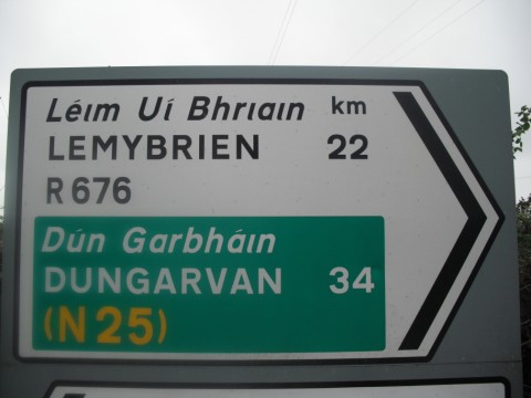
The climb flattens out quickly once you have passed the golf course and the narrow road continues along for another half kilometre or so until you pass the Joe Kelly Memorial Stone before the T-Junction with the Carrick-on-Suir – Dungarvan N25 road, where the route goes right, direction Dungarvan and Challenge 7 – Mahon Falls!



Recent Comments